Establish the ground truth
Current survey information and site reconnaissance should identify grades, easements, utilities, existing drainage, trees, access limits, structures, neighboring conditions, and possible staging areas.
Site intelligence · Reviewed July 2026
A practical sequence for Colorado foothill properties involving grade, rock, drainage, wildfire exposure, access, and architectural outdoor living.
 Illustrative registry study
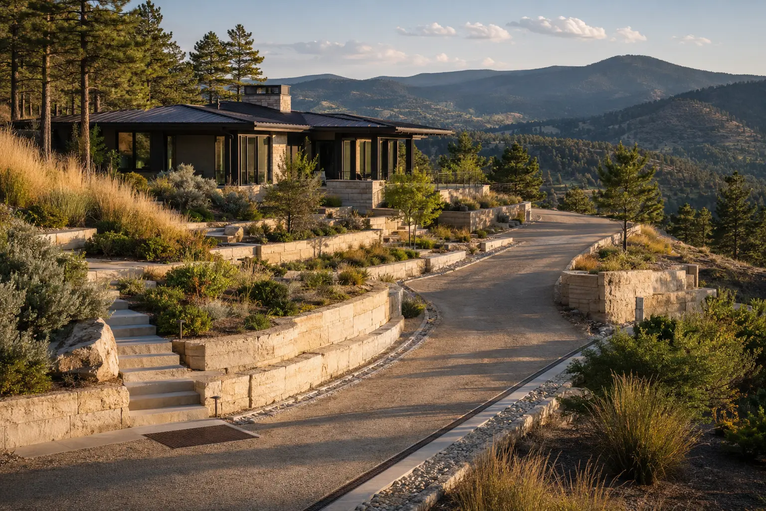
Start with boundary/topographic information, jurisdiction, access, utilities, wildfire context, drainage, and geotechnical questions before fixing the amenity plan. On steep properties, feasibility and composition must evolve together.
Owner briefing
Current survey information and site reconnaissance should identify grades, easements, utilities, existing drainage, trees, access limits, structures, neighboring conditions, and possible staging areas.
Road width, drive slope, turning, overhead conflicts, bridge or pavement limits, crane reach, concrete placement, excavation export, material laydown, worker parking, emergency access, and seasonal restrictions can change feasibility.
Soil, rock, fill, groundwater, surface water, erosion, slope movement, and existing walls influence foundations and grading. The level of investigation should be selected by qualified professionals for the actual site and proposed work.
Walls, stairs, terraces, guards, ramps, drainage edges, and grade transitions should be designed as part of the estate’s architecture. Concealing structural logic usually creates awkward space and cost.
Earthwork, temporary works, access, cranes, retaining, utilities, structures, waterproofing, backfill, finish work, landscape restoration, and winter protection need a credible sequence before mobilization.
Private assessment